Remote Earthworks Support for Japan
Updated: Oct 8
Japan has fascinated me since I was a child. It started with Japanese video games and television shows — the creativity, stories and attention to detail always caught my imagination.
As I grew into my career as an engineer, that interest expanded to Japan's architecture: traditional buildings alongside modern cities, and the engineering behind them. That makes extending Ring Geospatial's remote earthworks support to teams in Japan a particularly exciting step for me.

Practical support from your survey and design files
We offer remote earthworks take-offs, cut-and-fill analysis and 3D modelling using Civil 3D and AGTEK. The starting point is your supplied survey and design information, with a clear agreement on what your team needs to receive.
A model example from our UK work

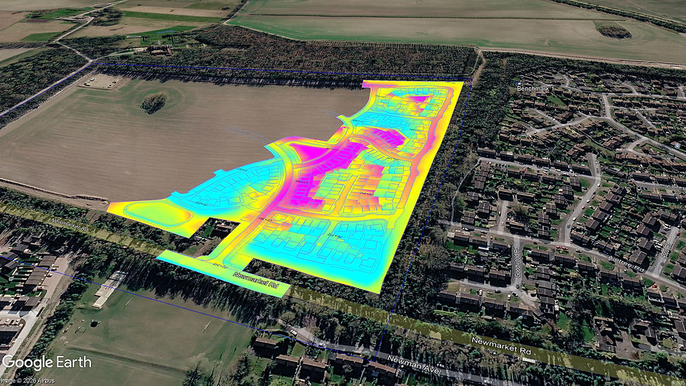
This example is from Ely, Cambridgeshire, in the UK. It shows how a model can bring roads, plots and ponds into one view for discussion. For a project in Japan, the model and quantities would be built around the supplied project information and agreed requirements.
Agreeing a workable remote package
Inputs: the current survey, design drawings or surfaces, specifications and revisions.
Reference system: the project coordinates, vertical datum and units.
Outputs: quantity schedules, review drawings and required model formats.
Communication: language requirements, review points, time zone and deadline.
We confirm the scope and handover arrangements before starting. A package can cover a complete take-off or a defined modelling task, with your team keeping the client relationship when we work as a subcontractor.
Comments