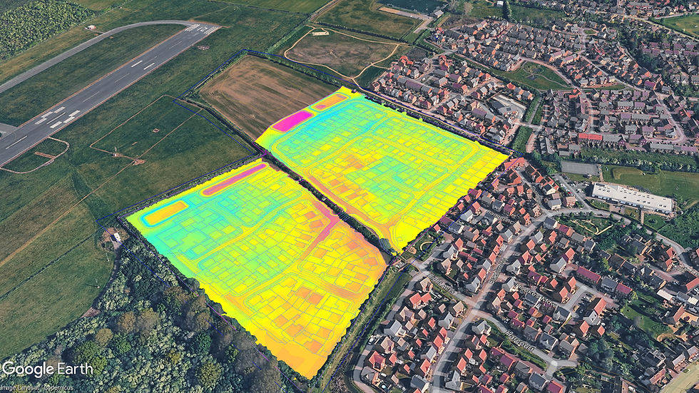
Earthworks take-offs, cut-and-fill analysis & 3D modelling

Earthworks quantities, formation models and machine-control data for estimating firms, surveyors, modelling businesses and civil contractors.
Working from your survey and design information, we support complete packages, individual modelling tasks and revisions. UK-based, with remote delivery internationally.
10+ years’ earthworks experience · AGTEK + Civil 3D
Need a starting price? Try the quote estimator.
Subcontract & overflow support
Already provide these services?
We can support your delivery.
Pass us an agreed take-off or modelling package while your team retains control of the project and client relationship.
Support can cover a complete package or a defined part of the work.
We agree the scope, reporting requirements, file formats and deadline before starting.
Start with one project and see how our work fits your team.
Earthworks support for your team
From tender quantities to models for site, we help your team understand the earthworks and plan the next step.
Earthworks quantities
Take-offs, cut-and-fill volumes and material balance, with quantity schedules by plot, road or work area and clear assumptions.
Formation & machine control
Formation surfaces and linework prepared from your design for agreed modelling and machine-control formats, with revisions recorded.
Reviews & value engineering
Compare proposed levels, earthworks balance and design options. We identify issues and quantify alternatives for your team to review.
Drainage & clash checks
Drainage quantities and potential pipe clashes or clearance conflicts in supplied information, reported through mark-ups and an issue schedule.
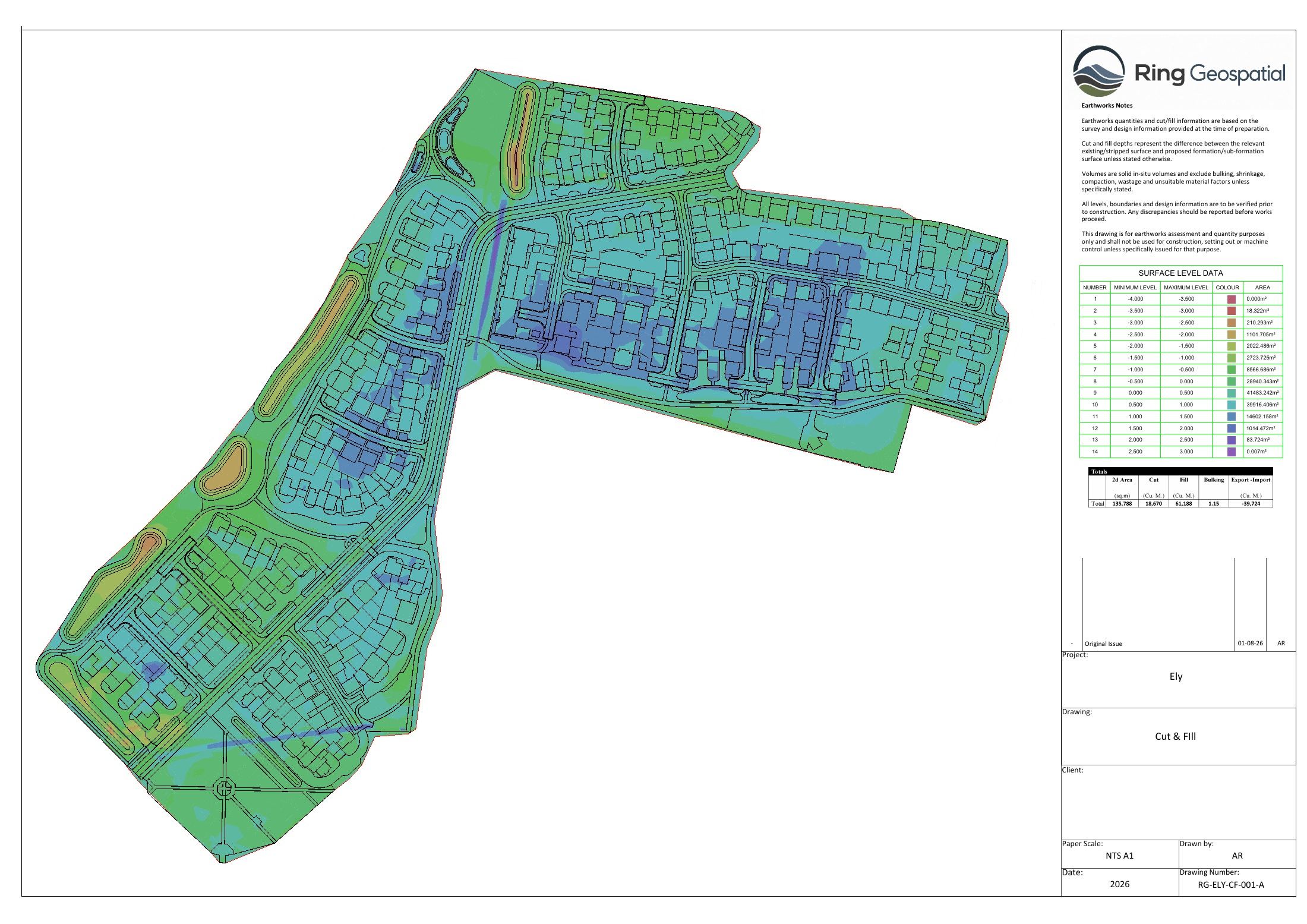
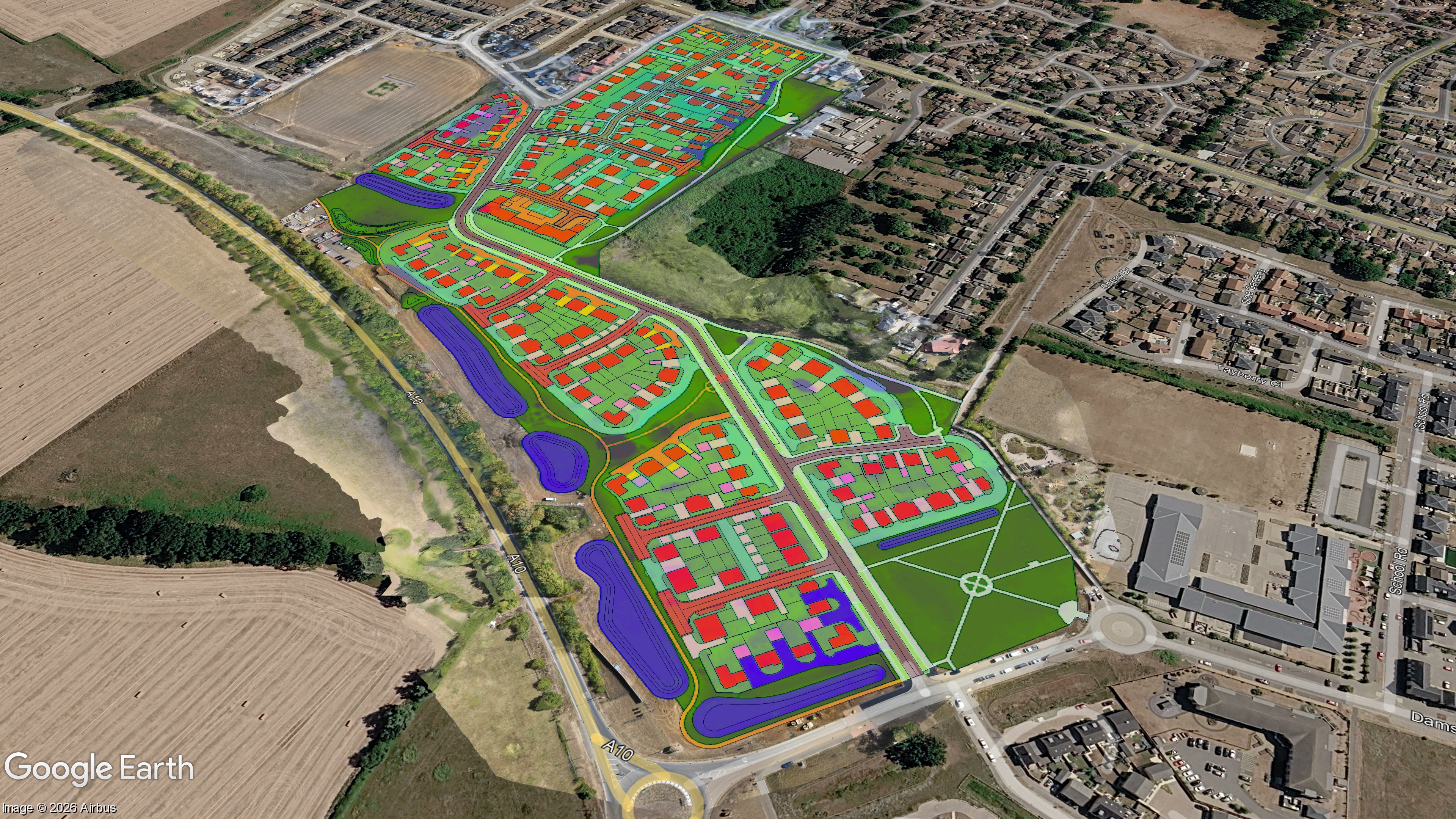
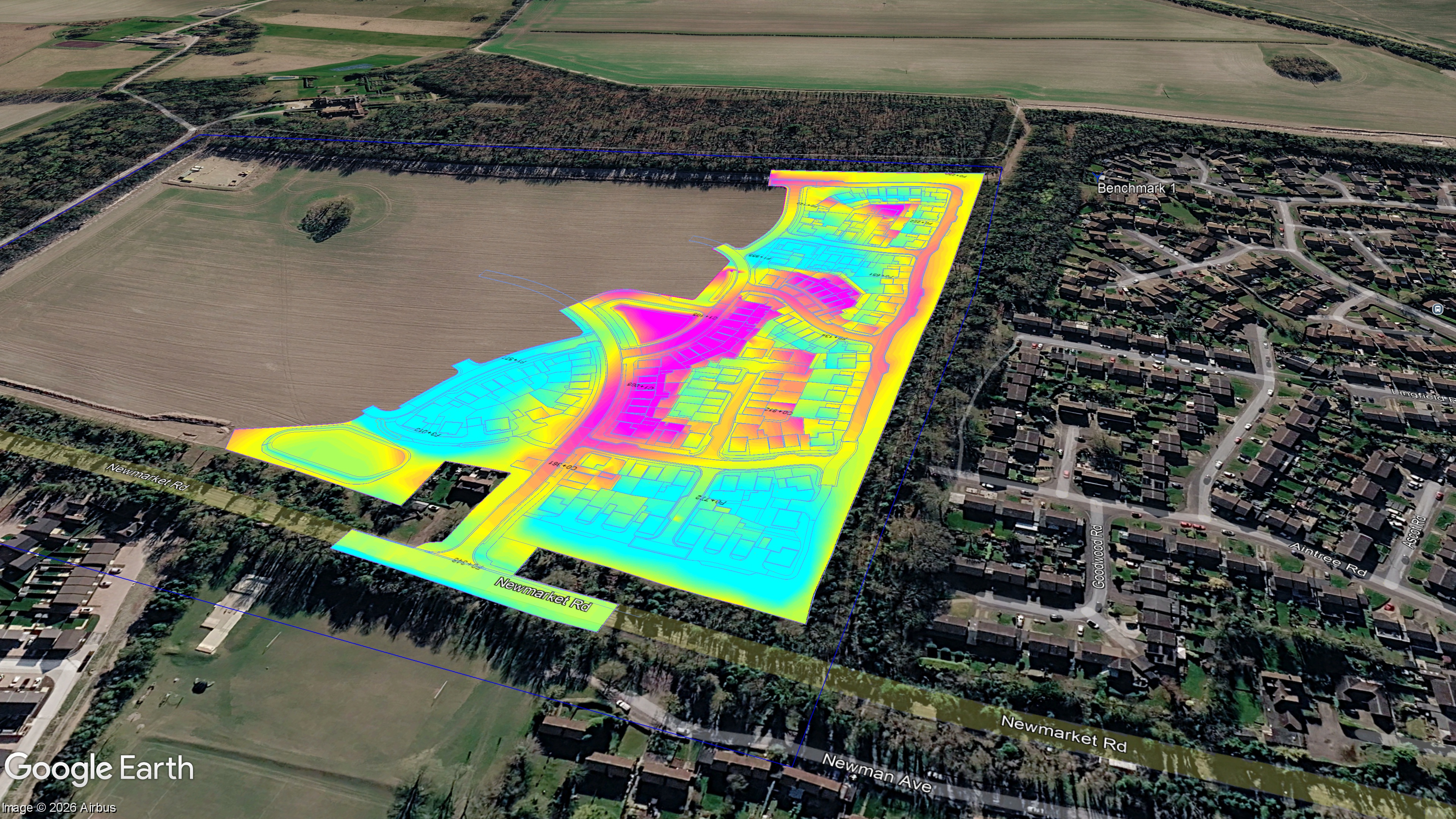
Projects



About Aaron
I’m Aaron Ring, founder of Ring Geospatial. I bring more than 10 years of earthworks experience across residential developments, civil engineering and major UK infrastructure.
I use AGTEK and Civil 3D to help teams understand quantities, review proposed levels and plan construction.
Based in the UK, we support teams in the UK, Ireland, Poland, Australia, Japan, Singapore and the USA. We agree handover times, review points and deadlines to suit your time zone.
Discuss your project
Tell us about the support you need and your deadline. Include a link to the survey, drawings and specification where available. We’ll review the information and confirm the scope, fee and next step.
Prefer email? aaron@ringgeospatial.com