Earthworks &
Modelling Services

Earthworks quantities, formation models and machine-control data for estimating firms, surveyors, modelling businesses and civil contractors.
Choose a complete package, a defined modelling task or subcontract support for your delivery team. We work from your survey and design information using AGTEK and Civil 3D, with scope and outputs agreed before starting.
Earthworks support
Earthworks quantities
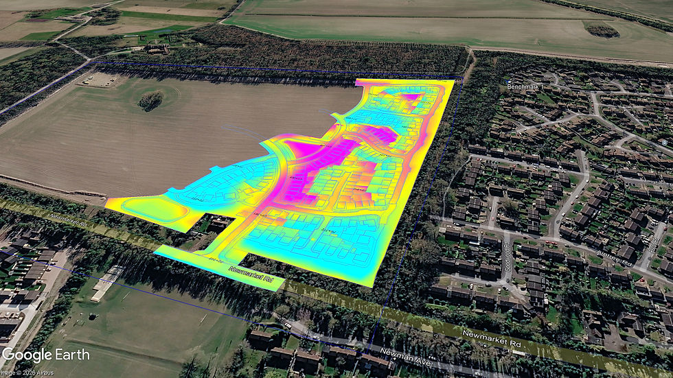
Take-offs, cut-and-fill volumes and material balance from your survey and design information. Quantity schedules by plot, road, pond or work area record assumptions, factors and exclusions.
Formation & machine control
Formation surfaces and linework prepared in AGTEK and Civil 3D for agreed modelling and machine-control formats. Units, coordinate systems, revisions and site verification are agreed with your team.
Reviews & value engineering
Independent checks of supplied quantities and models, material balance reviews and comparisons of proposed levels or design options. Findings, discrepancies and assumptions are recorded for your team to assess.
Drainage take-offs & clash checks
Reviews of supplied drainage drawings and models for potential pipe clashes and clearance conflicts, with marked-up drawings and an issue schedule. Quantities can be included in the agreed scope. Checks do not replace drainage design or verification of unrecorded services.

How we work
1. Share your information
Send the survey, design drawings, specifications and required deadline.
2. Agree the scope
We confirm revisions, units, coordinate system, material factors and the outputs your team needs.
3. Review the results
Receive quantity schedules and agreed model files, with assumptions, exclusions and revisions clearly recorded.
Practical earthworks experience
Led by Aaron Ring, Ring Geospatial brings more than 10 years of earthworks experience across residential developments, civil engineering and major UK infrastructure.
That experience helps us review both the quantities and the practical implications for estimating and construction.
Discuss your project
Send your drawings, the support you need and your deadline. We’ll confirm the scope and next step.
Need site support too? We can coordinate setting out, drainage delivery, drone surveys, survey control and engineering labour through specialist partners. Scope and availability are agreed separately.